By Katie Morrison
Conservation Director,
CPAWS Southern Alberta
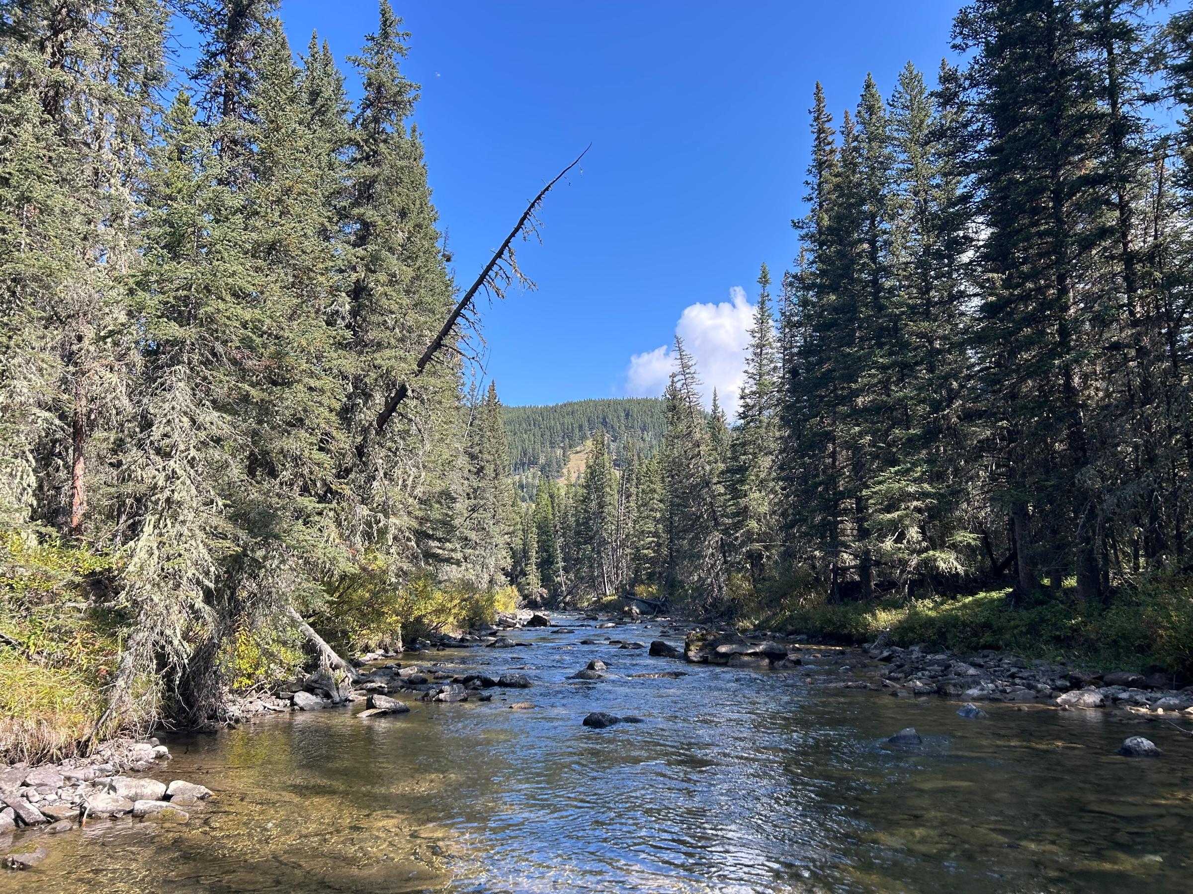
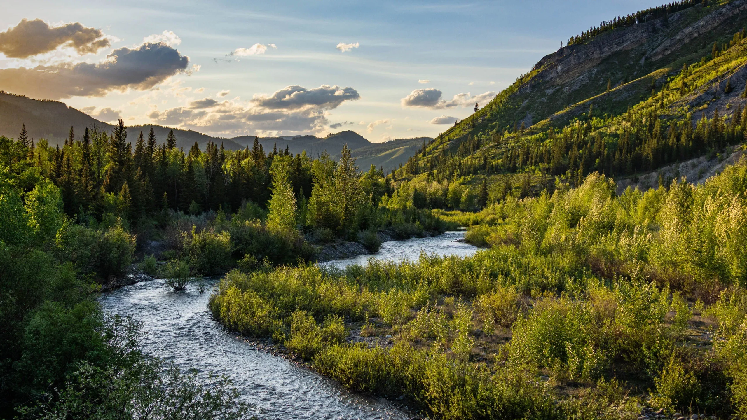
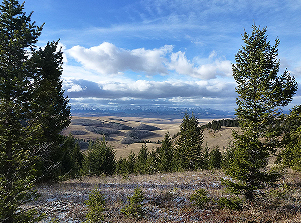
Some of the most amazing landscapes we have in southern Alberta can be found in the southwest corner of the province in the Porcupine Hills and Livingstone regions. The forests, grasslands, and headwaters streams on the eastern slopes of Alberta’s southern Rockies provide water, sustain fish and wildlife, and offer some of the province’s best opportunities for recreation and tourism.
Over the past few decades, these areas have seen increasing pressure from forestry, industrial activity, and recreational use. Intact forests, native grasslands, and sensitive riparian areas have become increasingly damaged and fragmented by human uses, including a large number of roads and trails. In some areas, the densities of roads and trails are 4-5 times the limit needed to maintain clean water and safe, effective habitat for species like the grizzly bear, westslope cutthroat trout, and bull trout. While the value of these areas has long been recognized, it has not been reflected in the way we manage and use the area.
In 2014, the South Saskatchewan Regional Plan authorized the development of a Land Footprint Management Plan (LFMP) and Recreation Management Plan (RMP) for the Porcupine Hills and Livingstone regions, encompassing the public lands between Kananaskis Country and the new Castle parks near Waterton.
For the past four years, CPAWS Southern Alberta has been working with the Porcupine Hills Coalition–which includes ranchers, grazing associations, landowners, local stewardship groups, outdoor recreationists, municipal governments, and ENGOs representing both private and public land–to communicate the ecological and social value of the Porcupine Hills, and the need for strong science-based planning. Our collective voice helped us find land-use solutions that work for a broad range of interests and include strong measures to protect headwaters and wildlife in southern Alberta.
CPAWS Southern Alberta was also invited to sit at the public lands conservation representative on the Southwest Alberta Recreation Advisory Group, a multi-stakeholder group led by the Government of Alberta land-use planners. This group represented a full range of interested stakeholders, including First Nations, rural municipalities, forestry, oil and gas, cattle ranchers, local residents, OHV users, snowmobilers, hunters and anglers, mountain bikers, backpackers, hikers, outfitters, equestrian groups, stewardship organizations, and nature enthusiasts. The group met regularly over six months to provide advice and input on the creation of the plans.
Finally, in May 2018 after years of literature review, ecological modeling, and stakeholder and public consultation, the Government of Alberta released the final LFMP and RMP.
The Land Footprint Management Plan (LFMP) manages the effects of roads and trails on headwaters and biodiversity values by mapping the key ecological values of the area and placing science-based limits the number of roads and trails in order to protect wildlife, native fish, and headwaters health. These limits are based on scientific research that indicates levels at which sensitive species like grizzly bear and elk start to avoid habitat and levels at which stream health and native fish starts to suffer. This would mean a big reduction in the vast number of existing roads and trails.
Unfortunately, the limits outlined in the plans are still higher than required for some species; we will need to continue working to ensure actual road and trail densities stay well below specified thresholds. The plans also outline detailed commitments to not only maintain but improve habitat quality in the Livingstone and Porcupine Hills by restoring existing landscape damage.
The Recreation Management Plan (RMP) then uses the road and trail limits outlined in the LFMP to create recreational opportunities for all Albertans in appropriate places and at appropriate levels of use. This includes drastically reducing unregulated motorized trails, while still providing over 400 km of designated motorized trails in the region. These trails should stay below thresholds and away from sensitive areas such as trout streams, important habitats, and private homes that border public land. This will reserve areas for Albertans who enjoy hiking, fishing, camping, birding, and hunting in quiet, undisturbed landscapes.
These new plans are an important step in preserving our outdoor heritage and protecting Alberta’s headwaters now and for future generation. They will also set a precedent of public land management that could be applied to other key headwaters regions in Alberta.
Good land-use planning ensures that our public lands are properly managed with and for Albertans. While the plans aren’t perfect, they were developed using science as a base, and with the input of a wide-range of stakeholders, to ensure all users have sustainable recreation opportunities, while protecting our important headwaters region.
CPAWS Southern Alberta looks forward to continuing our work with our partners, stakeholders, and government to ensure the plans are effectively implemented on-the-ground and all future land-use decisions in the region protect the fish, wildlife, water, and quiet recreation value of these iconic Alberta landscapes.
More News

New Storymap: Widespread Erosion and Sedimentation in Critical Habitat

Logging Permits Approved in Key Trout Spawning Area of Oldman River


