Use maps to learn about North America carnivore distribution in the past and present
PURPOSE
Large mammals and carnivores are indicators of ecosystem health. Using a number of maps, students compare the historical and present distribution in North America of several large carnivores, and try to deduce from this information what changes have occurred within the ecosystems in which the carnivores lived.
GRADE LEVELS
7-12
TIME NEEDED
60 minutes

Curriculum LINKS
Science 7, Unit A, Outcomes 1,3,4
Science 9, Unit A, Outcomes 1,4
Biology 20, Unit B, Outcome 1
Biology 30, Unit D, Outcome 3
MATERIALS NEEDED
Instructions
1: Tell students that you will be reviewing together a number of maps that show changes in the distribution of various large carnivores.
The presence or absence of carnivores or large mammals in an area can usually be used as an indicator of ecosystem health for three main
reasons:
- carnivores greatly influence the entire food web
- carnivores require large areas for their habitat
- carnivores are shy of human activities
For these reasons, carnivores disappear when their habitat is fragmented by human activities and made into smaller areas. If large predators can survive in an ecosystem, it usually means the system is healthy enough to support the other animal species, like aspen, elk and hares!
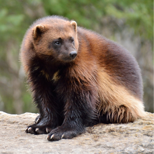
2: Review the maps of cougar, wolverine and wolf with the class. Ask students:
Have these animals disappeared from much of their original range? Why did this happen?
There have been many changes to the land, turning the habitat of these large carnivores into a place they could no longer live in. Examples of change or disturbance include agriculture, mining, forestry, cities, roads, and other kinds of human developments.
Examine the “last refuge” areas for these animals. What do you think they look like – mountains, forests, or prairies?
Most of the carnivores’ last refuges are the mountainous areas where humans have not yet settled in large numbers. Some large untouched forests may also be home to these animals. Humans have dramatically altered the prairies because native grasslands have been ploughed up and are no longer habitat for these animals.
3: With your students, review the map showing the historical distribution of the grizzly. Ask them:
Was the grizzly once found in Mexico, throughout the mid-west states, or Saskatchewan?
The answer is to all three questions is yes! In fact, the grizzly is believed to have evolved in the grasslands, developing its long claws and hump of muscle on its back to help dig up plants and ground squirrels.
4: Show the 1922 Distribution of Grizzly Bears. This map shows where the grizzly could be found 90 years ago. Ask students:
Why do you think the range of the bear has shrunk?
The answer is generally the same as for the other animals. The West experienced massive immigration of pioneering families over the last century. As the land was ploughed up and cities, railways, roads and industrial plants were built, the natural habitat that bears need to survive was fragmented or destroyed. This habitat loss, along with intense hunting pressure, eventually caused grizzly bears to disappear from settled areas.
In 1922, the scattered remaining ‘grizzly bear areas’ in the U.S. became surrounded by human development, and might as well be considered as islands of habitat floating in a sea of developed land.
Ask the students: What if you were a bear in one of these smaller “islands” of habitat (point to one of the smaller enclaves in California). Would you predict that grizzly bears still live there today? Why or why not?
Grizzly bears no longer live here. The “islandization” of bear populations means they are isolated from other populations. They cannot connect with each other for breeding purposes. As a result, inbreeding and weakening of the population occurs, usually resulting in extirpation (local extinction) of bears from the area. Once a population dies out, whether from disease or over-hunting, no new bears can access or re-populate the area because the islands of habitat are no longer connected to each other. This is what happened to the habitat islands of 1922.
5: Show students the Present Distribution of Grizzly Bears map. Ask them:
What is the name of the remaining U.S. “island?”
This is Yellowstone National Park. It supports a population of approximately 1300 grizzly bears, which are believed to be isolated from grizzly bears to the north by ranches, highways, and other development.
Do you think the bear will become extinct in Yellowstone?
Nobody knows. Much uncertainty still exists about “how low you can go” in population numbers and still be sustainable. The U.S. government spends millions of dollars annually to keep the Yellowstone population alive.
6: Brainstorm with the class possible answers to the following question:
If you were the park superintendent and your bear population was becoming inbred, what could you do to save this population?
Scientific evidence suggests that the best solution to this problem is to create sufficient wildlife corridors and core refugia to allow the bears to reconnect with populations to the north.
Other, less effective measures could include the capture and release of grizzlies from Canada into Yellowstone. The probability of survival for relocated bears is low because some grizzly bears try to return to their home, and encounter roads, hunters or other threats on their way. Other grizzly bears are released into areas that are already occupied by a more powerful, dominant grizzly. This approach also requires a healthy Canadian bear population, political will on both sides of the border, and must be continued forever.
7: On the Present Distribution of Grizzly Bears map, locate the “pinch point,” the slimmest point at the base of the long peninsula that reaches down into the northern U.S. Tell students that the Banff Bow Valley is located here, and ask them:
What human activities would cause this point to pinch off completely, forming a second island of habitat?
Increased development in the Bow Valley would cause this, particularly if it cuts off the wildlife corridors that connect the peninsula with habitat north of the valley. Development includes railways, highways, urban expansion, resort development, and increased human use.
Discussion
8: On the board, write the following terms:
- Probable future
- Possible future
- Preferred future
Ask the students: What is the difference between these three terms?
Once students understand the three terms, ask: Given the trends of the past century, what is the probable future of the grizzly bear range in North America?
Use the Present Distribution of Grizzly Bears map to illustrate/brainstorm what the probable future of the grizzly bear might be. Some groups might predict extirpation of bears from North America. Some groups might predict a more hopeful scenario. The following questions can be done with the entire class or by students in small groups.
Keeping in mind that the grizzly bear is an important indicator of wilderness and ecosystem health, what is your preferred future for the distribution of the grizzly bear?
Try to get the class to agree on an answer to this question, and use the Present Distribution map to show the class’s preferred future.
What actions need to occur now in order to achieve this “preferred future?”
Some action-oriented ideas include:
- Stopping human developments in protected areas
- Preserve (or reopen) wildlife corridors that bears use to move from one area to another
- Important unprotected land should be given protected status
- Unprotected land used by bears should not be fragmented by roads and other developments into smaller chunks of habitat
- Unprotected land that has been degraded should be restored to more natural conditions (e.g. close old roads)
More Bring Nature Home for Teachers
Bring Nature Home is our online database of tried-and-tested CPAWS Southern Alberta activities! Here are some ways that you can bring nature home (or to the classroom) today!

Grasslands 101

Midden Memory

